
Jaureguiberry topographic map
Interactive map
Click on the map to display elevation.
About this map
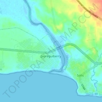
Name: Jaureguiberry topographic map, elevation, terrain.
Location: Jaureguiberry, Canelones, 16404, Uruguay (-34.79193 -55.45567 -34.76895 -55.39466)
Average elevation: 11 m
Minimum elevation: -4 m
Maximum elevation: 57 m