
Thank you for supporting this site ❤️
Make a donation
Make a donation
Gear up for your next adventure:
As an Amazon Associate, this site earns from qualifying purchases at no extra cost to you.
Seters topographic map
Click on the map to display elevation.
Thank you for supporting this site ❤️
Make a donation
Make a donation
Gear up for your next adventure:
As an Amazon Associate, this site earns from qualifying purchases at no extra cost to you.
About this map
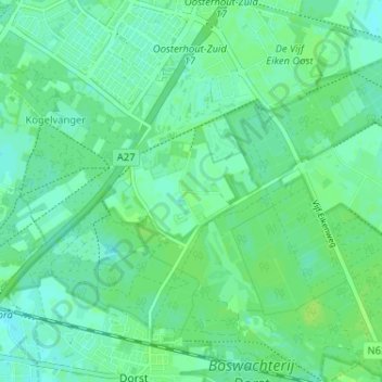
Name: Seters topographic map, elevation, terrain.
Location: Seters, Oosterhout, Noord-Brabant, Nederland, 4903 RT, Nederland (51.58943 4.84791 51.62943 4.88791)
Average elevation: 8 m
Minimum elevation: 3 m
Maximum elevation: 12 m
Thank you for supporting this site ❤️
Make a donation
Make a donation
Gear up for your next adventure:
As an Amazon Associate, this site earns from qualifying purchases at no extra cost to you.