
Vélez topographic map
Interactive map
Click on the map to display elevation.
About this map
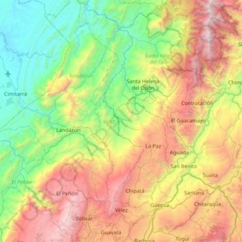
Name: Vélez topographic map, elevation, terrain.
Location: Vélez, Santander, Colômbia (5.92868 -73.78825 6.55750 -73.59500)
Average elevation: 1,284 m
Minimum elevation: 106 m
Maximum elevation: 3,414 m