
Jeonju topographic map
Interactive map
Click on the map to display elevation.
About this map
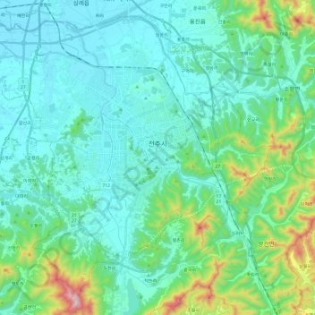
Name: Jeonju topographic map, elevation, terrain.
Location: Jeonju, Jeolla del Norte, Corea del Sur (35.72848 126.99619 35.90132 127.23437)
Average elevation: 138 m
Minimum elevation: 2 m
Maximum elevation: 766 m