Geolocate

Border Ranges National Park topographic map

Click on the map to display elevation.

About this map

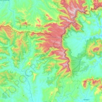
Name: Border Ranges National Park topographic map, elevation, terrain.

Location: Border Ranges National Park, Grevillia, Tweed Shire Council, New South Wales, Australia (-28.50514 152.70902 -28.30961 153.15436)

Average elevation: 326 m

Minimum elevation: 22 m

Maximum elevation: 1,178 m

New South Wales trails, hiking, mountain biking, running and outdoor activities

Gear up for your next adventure:

📖Australian Bush Survival Books - Local knowledge on finding water and surviving the outback
🔌Fast Charging Adapters - Quickly top up all your gear before heading back into the field
🧥Softshell Jackets - Flexible outdoor jackets
📕Australia Maps - Maps covering Australian regions
🎒3L Hydration Reservoirs - Hands-free drinking to stay hydrated on steep contour climbs

As an Amazon Associate, this site earns from qualifying purchases at no extra cost to you.