
Étang de Vaccarès topographic map
Interactive map
Click on the map to display elevation.
About this map
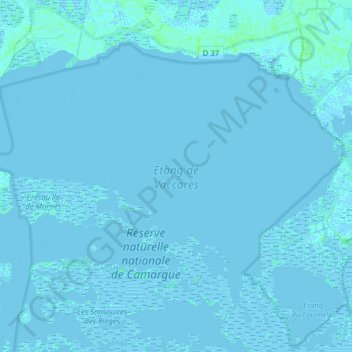
Name: Étang de Vaccarès topographic map, elevation, terrain.
Average elevation: 0 m
Minimum elevation: -5 m
Maximum elevation: 7 m
Other topographic maps
Click on a map to view its topography, its elevation and its terrain.
Pont van Gogh
France > Provence-Alpes-Côte d'Azur > Arles
Pont van Gogh, Rue Gaspard Monge, Sambucy, Arles, Bouches-du-Rhône, Provence-Alpes-Côte d'Azur, France métropolitaine, 13200, France
Average elevation: 5 m