Geolocate

Santa Lucia topographic map

Click on the map to display elevation.

About this map
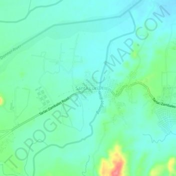
Name: Santa Lucia topographic map, elevation, terrain.

Location: Santa Lucia, Capas, Tarlac, Central Luzon, 2315, Philippines (15.34861 120.46562 15.38861 120.50562)

Average elevation: 110 m

Minimum elevation: 91 m

Maximum elevation: 174 m

Other topographic maps

Click on a map to view its topography, its elevation and its terrain.

O' Donnel River

Philippines > Tarlac > Capas

Average elevation: 222 m

Tambo Lake

Philippines > Tarlac > Capas

Average elevation: 292 m

Capas National Shrine

Philippines > Tarlac > Capas > Cristo Rey

Average elevation: 64 m

Gear up for your next adventure:

🖼️Scratch-off Australia Map - Track the regions and peaks you have explored geographically
🎒3L Hydration Reservoirs - Hands-free drinking to stay hydrated on steep contour climbs
📖Australian Bush Survival Books - Local knowledge on finding water and surviving the outback
🕯️Emergency Whistles - Safety whistles for hiking
🍳Ultralight Camping Stoves - Boil water quickly for meals using minimal fuel

As an Amazon Associate, this site earns from qualifying purchases at no extra cost to you.