
South Great Plain topographic map
Interactive map
Click on the map to display elevation.
About this map
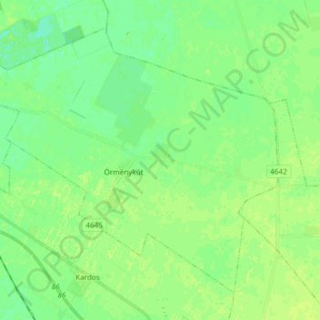
Name: South Great Plain topographic map, elevation, terrain.
Location: South Great Plain, Great Plain and North, 5556, Hungary (46.79188 20.65948 46.87657 20.80855)
Average elevation: 85 m
Minimum elevation: 78 m
Maximum elevation: 91 m
Other topographic maps
Click on a map to view its topography, its elevation and its terrain.