Geolocate

Forreston topographic map

Click on the map to display elevation.

About this map

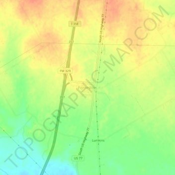
Name: Forreston topographic map, elevation, terrain.

Location: Forreston, Ellis County, Texas, 76041, United States (32.23640 -96.88717 32.27640 -96.84717)

Average elevation: 166 m

Minimum elevation: 141 m

Maximum elevation: 184 m

Gear up for your next adventure:

📸Action Cameras - Record your journey across interesting topographic features in 4K
🧭Military Style Lensatic Compass - Durable sighting compasses for advanced land navigation and surveying
🖼️Scratch-off Australia Map - Track the regions and peaks you have explored geographically
🎽Base Layers - Thermal base layers
📦Crushproof Equipment Cases - Safe transport for sensitive surveying and mapping instruments

As an Amazon Associate, this site earns from qualifying purchases at no extra cost to you.