
Garfield County topographic map
Interactive map
Click on the map to display elevation.
About this map
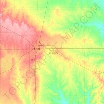
Name: Garfield County topographic map, elevation, terrain.
Location: Garfield County, Oklahoma, United States (36.16443 -98.10456 36.59352 -97.46051)
Average elevation: 353 m
Minimum elevation: 296 m
Maximum elevation: 434 m