
Lekunberri topographic map
Interactive map
Click on the map to display elevation.
About this map
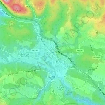
Name: Lekunberri topographic map, elevation, terrain.
Location: Lekunberri, Larraun-Leitzaldea, Navarre, 31780, Espagne (42.98518 -1.91561 43.02518 -1.87561)
Average elevation: 629 m
Minimum elevation: 524 m
Maximum elevation: 864 m