Geolocate

Kunna topographic map

Click on the map to display elevation.

About this map

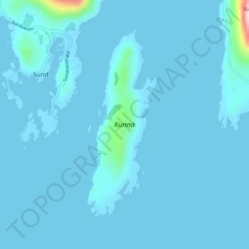
Name: Kunna topographic map, elevation, terrain.

Location: Kunna, Sund, Flakstad, Nordland, Norway (67.98980 13.22147 68.00967 13.24146)

Average elevation: 9 m

Minimum elevation: 0 m

Maximum elevation: 264 m

Gear up for your next adventure:

🔥Windproof Plasma Lighters - USB rechargeable lighters that work in high-altitude winds
👟Lightweight Trail Runners - Agile footwear for fast movement over rugged Australian terrain
📣High-Decibel Survival Whistles - Signaling tool for rescue that carries much further than a human voice
🧤Thermal Hiking Gloves - Keep your hands warm and functional during high-altitude winter treks
☀️Portable Solar Chargers - High-efficiency panels to hang on your backpack while walking

As an Amazon Associate, this site earns from qualifying purchases at no extra cost to you.