
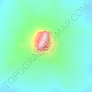
Cerro del Bernal topographic map
Interactive map
Click on the map to display elevation.
About this map
Name: Cerro del Bernal topographic map, elevation, terrain.
Location: Cerro del Bernal, González, Tamaulipas, México (22.75103 -98.59010 22.75113 -98.59000)
Average elevation: 313 m
Minimum elevation: 161 m
Maximum elevation: 779 m
Other topographic maps
Click on a map to view its topography, its elevation and its terrain.
Estación Manuel
México > Tamaulipas > González
Estación Manuel, González, Tamaulipas, México
Average elevation: 73 m