
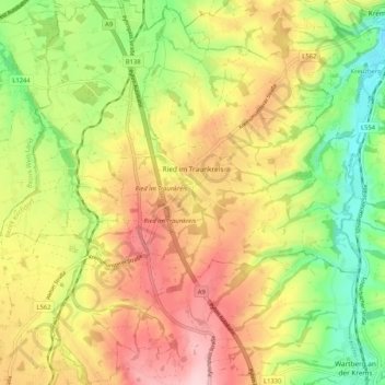
Ried im Traunkreis topographic map
Interactive map
Click on the map to display elevation.
About this map
Name: Ried im Traunkreis topographic map, elevation, terrain.
Average elevation: 439 m
Minimum elevation: 343 m
Maximum elevation: 535 m
Die Gemeinde liegt auf 469 m Höhe im Traunviertel. Die Ausdehnung beträgt von Nord nach Süd 7,2 km und von West nach Ost 7,7 km. Die Gesamtfläche beträgt 31 km². 9 % der Fläche sind bewaldet und 81,3 % der Fläche werden landwirtschaftlich genutzt.