
Mara topographic map
Interactive map
Click on the map to display elevation.
About this map
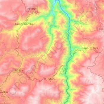
Name: Mara topographic map, elevation, terrain.
Location: Mara, Provincia de Cotabambas, Apurímac, Perú (-14.14903 -72.20335 -13.88576 -72.05120)
Average elevation: 3,793 m
Minimum elevation: 2,455 m
Maximum elevation: 4,664 m