
Minto topographic map
Interactive map
Click on the map to display elevation.
About this map
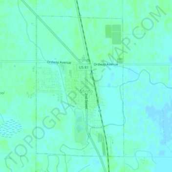
Name: Minto topographic map, elevation, terrain.
Location: Minto, Walsh County, North Dakota, United States (48.28138 -97.38331 48.30351 -97.36264)
Average elevation: 249 m
Minimum elevation: 246 m
Maximum elevation: 253 m