
Dan Adwaré topographic map
Interactive map
Click on the map to display elevation.
About this map
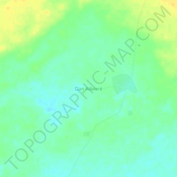
Name: Dan Adwaré topographic map, elevation, terrain.
Location: Dan Adwaré, Tanout, Zinder, Niger (14.52610 8.84942 14.56610 8.88942)
Average elevation: 459 m
Minimum elevation: 449 m
Maximum elevation: 474 m