Geolocate

Albany topographic map

Click on the map to display elevation.

About this map

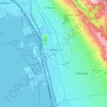
Name: Albany topographic map, elevation, terrain.

Location: Albany, Alameda County, California, United States (37.86957 -122.37384 37.89896 -122.28170)

Average elevation: 54 m

Minimum elevation: -2 m

Maximum elevation: 356 m

Gear up for your next adventure:

📣High-Decibel Survival Whistles - Signaling tool for rescue that carries much further than a human voice
🥾Hiking Shoes - Lightweight hiking shoes for day hikes
Survival Blankets - Emergency thermal blankets
🔥Windproof Plasma Lighters - USB rechargeable lighters that work in high-altitude winds
🧴SPF 50+ Bulk Sunscreen - Maximum protection for long-term outdoor exposure

As an Amazon Associate, this site earns from qualifying purchases at no extra cost to you.