
石婆固乡 topographic map
Interactive map
Click on the map to display elevation.
About this map
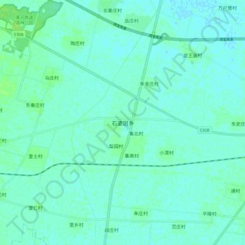
Name: 石婆固乡 topographic map, elevation, terrain.
Location: 石婆固乡, 延津县, 新乡市, 河南省, 中国 (35.20157 114.17492 35.28157 114.25492)
Average elevation: 71 m
Minimum elevation: 68 m
Maximum elevation: 77 m