
Sandoa topographic map
Interactive map
Click on the map to display elevation.
About this map
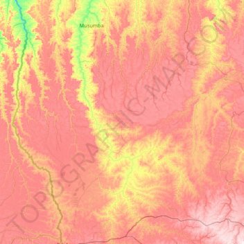
Name: Sandoa topographic map, elevation, terrain.
Location: Sandoa, Lualaba, Democratic Republic of the Congo (-10.10847 21.79066 -8.66281 24.40922)
Average elevation: 1,019 m
Minimum elevation: 783 m
Maximum elevation: 1,282 m