
Thank you for supporting this site ❤️
Make a donation
Make a donation
Gear up for your next adventure:
As an Amazon Associate, this site earns from qualifying purchases at no extra cost to you.
Terkey-Barakatra topographic map
Click on the map to display elevation.
Thank you for supporting this site ❤️
Make a donation
Make a donation
Gear up for your next adventure:
As an Amazon Associate, this site earns from qualifying purchases at no extra cost to you.
About this map
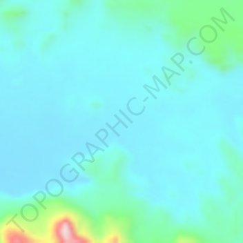
Name: Terkey-Barakatra topographic map, elevation, terrain.
Location: Terkey-Barakatra, Ennedi-Ouest, Chad (16.76404 21.66216 16.76414 21.66226)
Average elevation: 594 m
Minimum elevation: 550 m
Maximum elevation: 822 m
Thank you for supporting this site ❤️
Make a donation
Make a donation
Gear up for your next adventure:
As an Amazon Associate, this site earns from qualifying purchases at no extra cost to you.