
Ungra topographic map
Interactive map
Click on the map to display elevation.
About this map
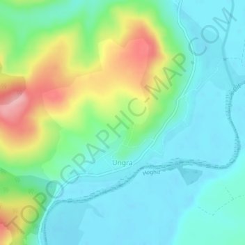
Name: Ungra topographic map, elevation, terrain.
Location: Ungra, Brașov, 507240, Romania (45.97914 25.25270 45.99295 25.27544)
Average elevation: 479 m
Minimum elevation: 440 m
Maximum elevation: 576 m