
Bear Creek topographic map
Interactive map
Click on the map to display elevation.
About this map
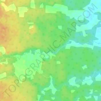
Name: Bear Creek topographic map, elevation, terrain.
Location: Bear Creek, Clayton No. 333, Saskatchewan, Canada (52.23659 -102.33016 52.24181 -102.31368)
Average elevation: 543 m
Minimum elevation: 527 m
Maximum elevation: 560 m