
Stuart topographic map
Interactive map
Click on the map to display elevation.
About this map
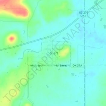
Name: Stuart topographic map, elevation, terrain.
Location: Stuart, Hughes County, Oklahoma, United States (34.89830 -96.10672 34.90463 -96.09330)
Average elevation: 229 m
Minimum elevation: 213 m
Maximum elevation: 278 m