Geolocate

Sandy Point topographic map

Click on the map to display elevation.

About this map

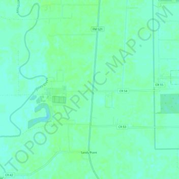
Name: Sandy Point topographic map, elevation, terrain.

Location: Sandy Point, Brazoria County, Texas, United States (29.37864 -95.49640 29.42474 -95.46790)

Average elevation: 18 m

Minimum elevation: 13 m

Maximum elevation: 22 m

Other topographic maps

Click on a map to view its topography, its elevation and its terrain.

Oyster Creek

United States > Texas > Brazoria County

Average elevation: 3 m

Gear up for your next adventure:

🛠️Outdoor Repair Kits - Gear repair kits
🌬️Windbreaker Jackets - Wind protection jackets
🛌Compact Down Sleeping Bags - Warmth without the bulk, ideal for backcountry camping
🎒Daypacks - Compact backpacks for short hikes
🎒Tactical Waist Packs - Quick access to your compass, phone, and snacks while walking

As an Amazon Associate, this site earns from qualifying purchases at no extra cost to you.