Geolocate

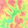
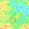
Huber Heights topographic map

Click on the map to display elevation.

About this map

Name: Huber Heights topographic map, elevation, terrain.

Location: Huber Heights, Montgomery County, Ohio, 45424, United States (39.81835 -84.17546 39.89916 -84.05101)

Average elevation: 274 m

Minimum elevation: 226 m

Maximum elevation: 309 m

Other topographic maps

Click on a map to view its topography, its elevation and its terrain.
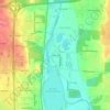
Bridgeport

United States > Ohio > Montgomery County > Miamisburg

Average elevation: 243 m

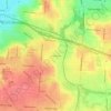
Hearthstone

United States > Ohio > Montgomery County > Dayton

Average elevation: 273 m

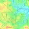
Greenmont

United States > Ohio > Montgomery County > Kettering

Average elevation: 282 m

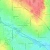
Cornell Heights

United States > Ohio > Montgomery County > Dayton

Average elevation: 256 m

Avondale

United States > Ohio > Montgomery County > Riverside

Average elevation: 238 m

Woodbourne

United States > Ohio > Montgomery County

Average elevation: 291 m

Dayton

United States > Ohio > Montgomery County > Dayton

Average elevation: 270 m

Oakdale

United States > Ohio > Montgomery County > Kettering

Average elevation: 297 m

Patterson

United States > Ohio > Montgomery County > Dayton

Average elevation: 233 m

Fort McKinley

United States > Ohio > Montgomery County > Dayton

Average elevation: 273 m

Shakertown

United States > Ohio > Montgomery County > Kettering

Average elevation: 282 m

North Riverdale

United States > Ohio > Montgomery County > Dayton

Average elevation: 254 m

Oakland

United States > Ohio > Montgomery County > Dayton

Average elevation: 269 m

Gear up for your next adventure:

🦶Orthotic Hiking Insoles - Extra arch support for long-distance topographic treks
🧯Animal Deterrent Spray - Safety spray for wildlife
🧢Outdoor Sun Hats - Sun protection hats for hiking
🛠️Outdoor Repair Kits - Gear repair kits
💧Personal Water Filters - Drink safely from streams and lakes identified on your map

As an Amazon Associate, this site earns from qualifying purchases at no extra cost to you.