
Cerro Azul topographic map
Interactive map
Click on the map to display elevation.
About this map
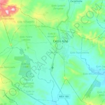
Name: Cerro Azul topographic map, elevation, terrain.
Location: Cerro Azul, Veracruz, México (21.11099 -97.83964 21.24576 -97.68813)
Average elevation: 201 m
Minimum elevation: 78 m
Maximum elevation: 683 m