
19 de Abril topographic map
Interactive map
Click on the map to display elevation.
About this map
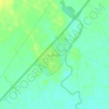
Name: 19 de Abril topographic map, elevation, terrain.
Location: 19 de Abril, Rocha, 27003, Uruguay (-34.36832 -54.07286 -34.35751 -54.06153)
Average elevation: 12 m
Minimum elevation: 4 m
Maximum elevation: 22 m