
Las Cañas topographic map
Interactive map
Click on the map to display elevation.
About this map
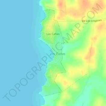
Name: Las Cañas topographic map, elevation, terrain.
Location: Las Cañas, Río Negro, 65000, Uruguay (-33.18068 -58.36058 -33.15840 -58.35191)
Average elevation: 12 m
Minimum elevation: 0 m
Maximum elevation: 36 m