
Brande topographic map
Interactive map
Click on the map to display elevation.
About this map
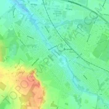
Name: Brande topographic map, elevation, terrain.
Location: Brande, Ikast-Brande Kommune, Region Midtjylland, Denemarken (55.93146 9.10153 55.95466 9.15534)
Average elevation: 55 m
Minimum elevation: 39 m
Maximum elevation: 84 m