
Oxamarca topographic map
Interactive map
Click on the map to display elevation.
About this map
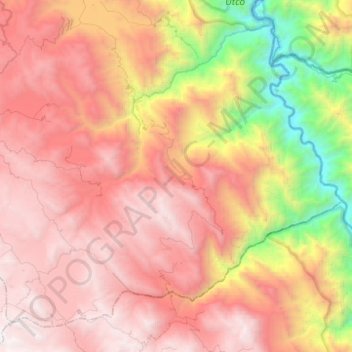
Name: Oxamarca topographic map, elevation, terrain.
Location: Oxamarca, Provincia de Celendín, Cajamarca, Perú (-7.15285 -78.19795 -6.94166 -77.95069)
Average elevation: 2,731 m
Minimum elevation: 874 m
Maximum elevation: 4,124 m
Other topographic maps
Click on a map to view its topography, its elevation and its terrain.