
Pretty Channel topographic map
Interactive map
Click on the map to display elevation.
About this map
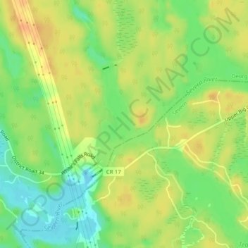
Name: Pretty Channel topographic map, elevation, terrain.
Average elevation: 201 m
Minimum elevation: 181 m
Maximum elevation: 217 m
Other topographic maps
Click on a map to view its topography, its elevation and its terrain.
Lake St. George
Lake St. George, Cox Drive, Severn, Simcoe County, Central Ontario, Ontario, L0K 1G0, Canada
Average elevation: 228 m
Trent-Severn Lock 42
Trent-Severn Lock 42, Severn, Simcoe County, Ontario, P0E 1N0, Canada
Average elevation: 224 m