
Tanout topographic map
Interactive map
Click on the map to display elevation.
About this map
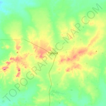
Name: Tanout topographic map, elevation, terrain.
Location: Tanout, Zinder, Niger (14.81119 8.71836 15.13119 9.03836)
Average elevation: 512 m
Minimum elevation: 464 m
Maximum elevation: 624 m