
Yurúa topographic map
Interactive map
Click on the map to display elevation.
About this map
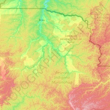
Name: Yurúa topographic map, elevation, terrain.
Location: Yurúa, Atalaya, Ucayali, Peru (-10.36614 -73.27658 -9.41140 -72.13594)
Average elevation: 328 m
Minimum elevation: 222 m
Maximum elevation: 521 m
Other topographic maps
Click on a map to view its topography, its elevation and its terrain.