
Preble County topographic map
Interactive map
Click on the map to display elevation.
About this map
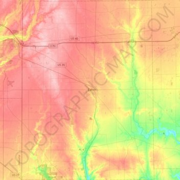
Name: Preble County topographic map, elevation, terrain.
Location: Preble County, Ohio, États-Unis d'Amérique (39.56729 -84.81514 39.91842 -84.47878)
Average elevation: 315 m
Minimum elevation: 227 m
Maximum elevation: 376 m