
Røjen topographic map
Interactive map
Click on the map to display elevation.
About this map
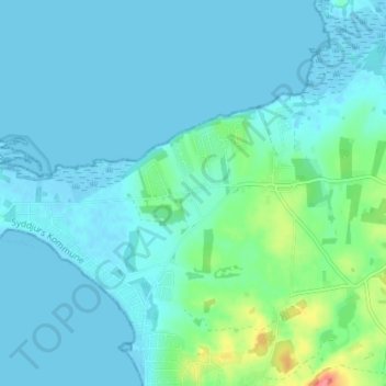
Name: Røjen topographic map, elevation, terrain.
Location: Røjen, Syddjurs Kommune, Region Midtjylland, Denemarken (56.17719 10.36653 56.21719 10.40653)
Average elevation: 11 m
Minimum elevation: -2 m
Maximum elevation: 72 m