
Barker topographic map
Interactive map
Click on the map to display elevation.
About this map
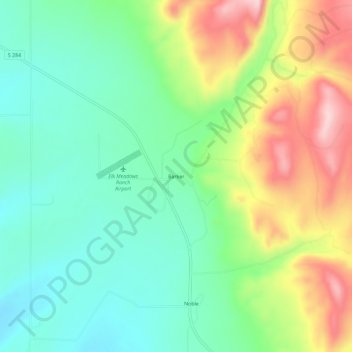
Name: Barker topographic map, elevation, terrain.
Location: Barker, Broadwater County, Montana, United States (46.51438 -111.50941 46.55438 -111.46941)
Average elevation: 1,292 m
Minimum elevation: 1,200 m
Maximum elevation: 1,457 m