
Luwero topographic map
Interactive map
Click on the map to display elevation.
About this map
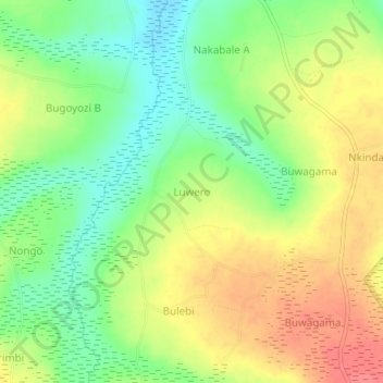
Name: Luwero topographic map, elevation, terrain.
Location: Luwero, Bugiri, Eastern Region, Uganda (0.45790 33.78552 0.49790 33.82552)
Average elevation: 1,138 m
Minimum elevation: 1,108 m
Maximum elevation: 1,170 m