
Cee topographic map
Interactive map
Click on the map to display elevation.
About this map
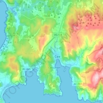
Name: Cee topographic map, elevation, terrain.
Location: Cee, Fisterra, A Coruña, Galicien, Spanien (42.90885 -9.26293 43.01194 -9.13618)
Average elevation: 116 m
Minimum elevation: -1 m
Maximum elevation: 423 m