
Coryal topographic map
Interactive map
Click on the map to display elevation.
About this map
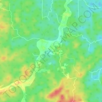
Name: Coryal topographic map, elevation, terrain.
Location: Coryal, Sangre Grande, Trinidad and Tobago (10.49096 -61.20539 10.53096 -61.16539)
Average elevation: 57 m
Minimum elevation: 31 m
Maximum elevation: 97 m
Other topographic maps
Click on a map to view its topography, its elevation and its terrain.
Sangre Grande
Trinidad and Tobago > Sangre Grande > Sangre Grande
Sangre Grande, 450626, Trinidad and Tobago
Average elevation: 21 m
Oropouche River
Trinidad and Tobago > Sangre Grande > Sangre Grande
Oropouche River, Sangre Grande, 450626, Trinidad and Tobago
Average elevation: 14 m
Matelot
Trinidad and Tobago > Sangre Grande > Port of Spain > Matelot
Matelot, Port of Spain, Trinidad and Tobago
Average elevation: 108 m