
O Cal topographic map
Interactive map
Click on the map to display elevation.
About this map
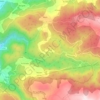
Name: O Cal topographic map, elevation, terrain.
Location: O Cal, Mariña Occidental, Lugo, Galicia, España (43.55626 -7.58764 43.59626 -7.54764)
Average elevation: 364 m
Minimum elevation: 84 m
Maximum elevation: 584 m