
Independencia topographic map
Interactive map
Click on the map to display elevation.
About this map
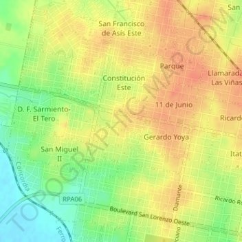
Name: Independencia topographic map, elevation, terrain.
Average elevation: 36 m
Minimum elevation: 10 m
Maximum elevation: 52 m
Other topographic maps
Click on a map to view its topography, its elevation and its terrain.
Plaza España
Argentina > Entre Ríos > Distrito Suburbios > Concordia
Plaza España, Concordia, Distrito Suburbios, Departamento Concordia, Entre Ríos, Argentina
Average elevation: 24 m