
Danwon-gu topographic map
Interactive map
Click on the map to display elevation.
About this map
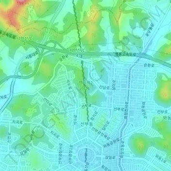
Name: Danwon-gu topographic map, elevation, terrain.
Location: Danwon-gu, Ansan, Gyeonggi, South Korea, 정지제2공원 (37.34196 126.80524 37.34878 126.81397)
Average elevation: 34 m
Minimum elevation: 8 m
Maximum elevation: 138 m
Other topographic maps
Click on a map to view its topography, its elevation and its terrain.