
Gulou District topographic map
Interactive map
Click on the map to display elevation.
About this map
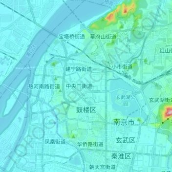
Name: Gulou District topographic map, elevation, terrain.
Location: Gulou District, Nanjing City, Jiangsu, China (32.03100 118.71449 32.13443 118.80164)
Average elevation: 17 m
Minimum elevation: -1 m
Maximum elevation: 250 m
Other topographic maps
Click on a map to view its topography, its elevation and its terrain.