
Granite Falls topographic map
Interactive map
Click on the map to display elevation.
About this map
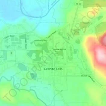
Name: Granite Falls topographic map, elevation, terrain.
Location: Granite Falls, Snohomish County, Washington, United States (48.07177 -121.98777 48.10020 -121.95070)
Average elevation: 120 m
Minimum elevation: 53 m
Maximum elevation: 269 m
Other topographic maps
Click on a map to view its topography, its elevation and its terrain.