
Forden topographic map
Interactive map
Click on the map to display elevation.
About this map
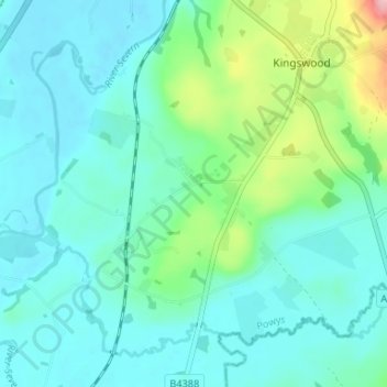
Name: Forden topographic map, elevation, terrain.
Location: Forden, Powys, Wales, SY21 8NF, United Kingdom (52.58052 -3.16380 52.62052 -3.12380)
Average elevation: 103 m
Minimum elevation: 71 m
Maximum elevation: 232 m