
Teindside topographic map
Interactive map
Click on the map to display elevation.
About this map
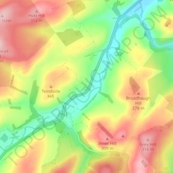
Name: Teindside topographic map, elevation, terrain.
Location: Teindside, Scottish Borders, Scotland, TD9 0JZ, United Kingdom (55.34783 -2.90207 55.38783 -2.86207)
Average elevation: 225 m
Minimum elevation: 132 m
Maximum elevation: 322 m