

Grande Prairie topographic map
Click on the map to display elevation.
Grande Prairie
Grande Prairie is located just north of the 55th parallel north, and is 465 km (289 mi) northwest of Edmonton, lying at an elevation of 669 m (2,195 ft) above sea level. The city is surrounded by farmland to the north, east, and west. To the south lies a vast boreal forest with aspen, tamarack, lodgepole pine, jack pine, and black spruce extending well into the foothills of the Canadian Rockies south and southwest of the city.
About this map
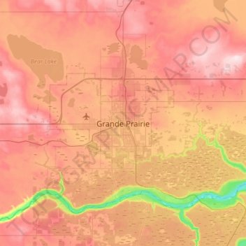
Name: Grande Prairie topographic map, elevation, terrain.
Average elevation: 668 m
Minimum elevation: 498 m
Maximum elevation: 793 m