
Eidfjord topographic map
Interactive map
Click on the map to display elevation.
About this map
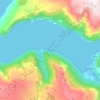
Name: Eidfjord topographic map, elevation, terrain.
Location: Eidfjord, Eidfjordvegen, Eidfjord, Hordaland, 5783, Norway (60.47600 6.90442 60.48603 7.06205)
Average elevation: 494 m
Minimum elevation: -2 m
Maximum elevation: 1,597 m
Other topographic maps
Click on a map to view its topography, its elevation and its terrain.