
مندل topographic map
Interactive map
Click on the map to display elevation.
About this map
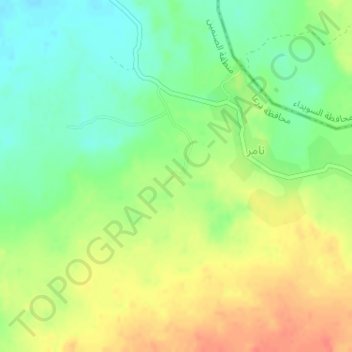
Name: مندل topographic map, elevation, terrain.
Location: مندل, نامر, ناحية المسمية, منطقة الصنمين, محافظة درعا, Syrië (33.04000 36.47333 33.06000 36.49333)
Average elevation: 698 m
Minimum elevation: 675 m
Maximum elevation: 723 m